
Whether you’re a real estate investor or construction firm, revolutionize your construction progress and project management endeavors with Mitten Drone Media's cutting-edge aerial solutions. Say goodbye to traditional methods and hello to efficiency, accuracy, and unparalleled insight.
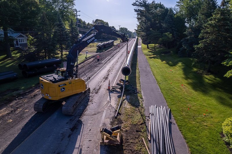
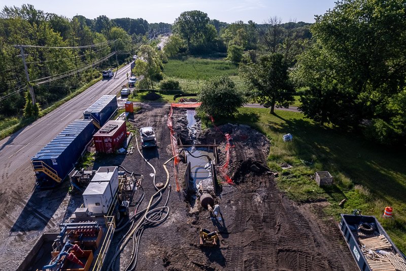
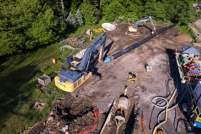
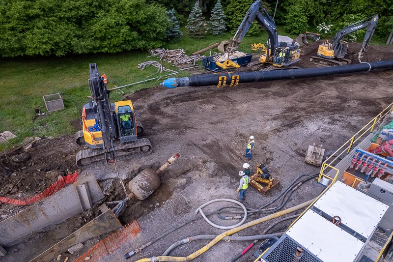
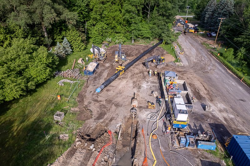
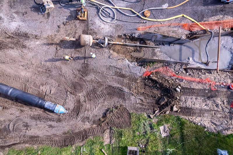
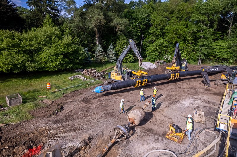
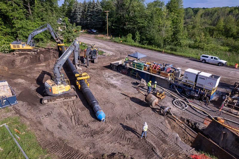
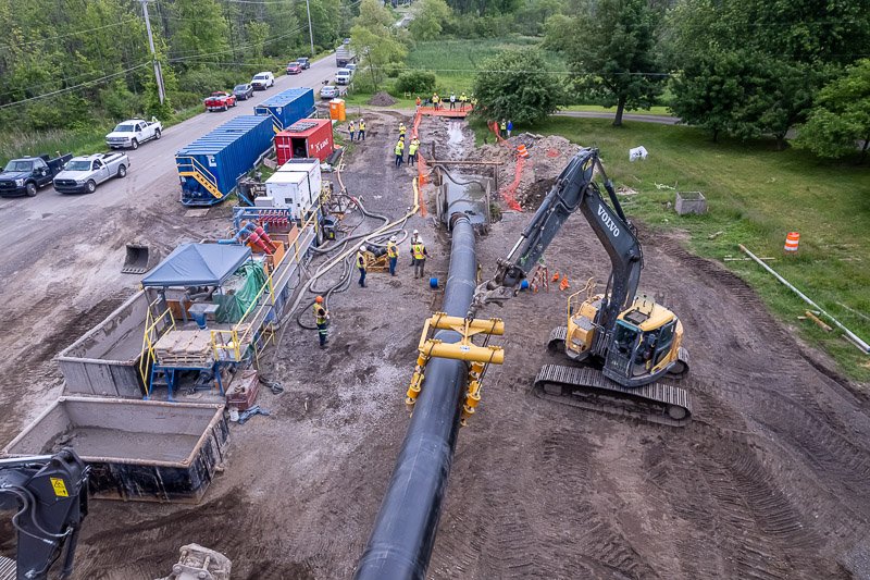
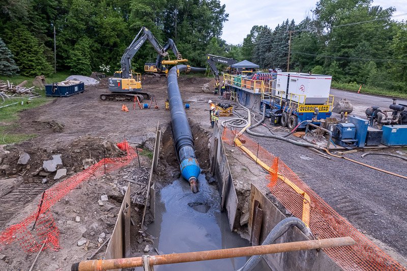
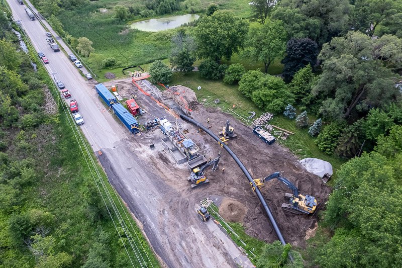
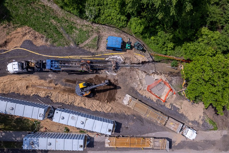
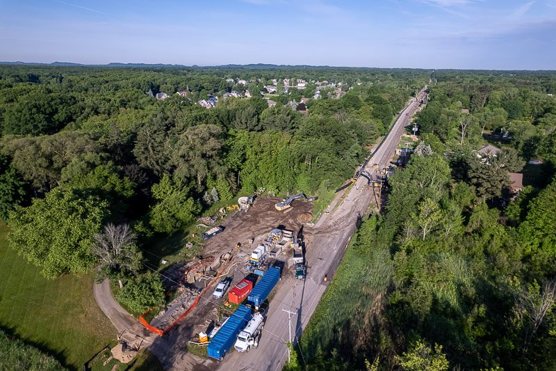
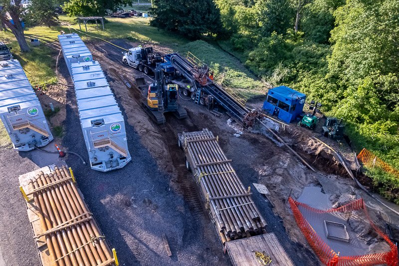
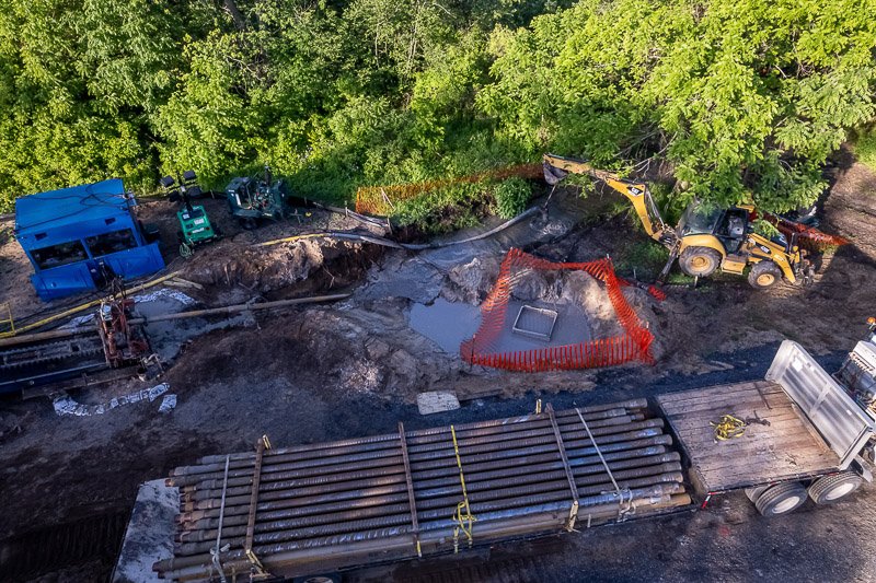
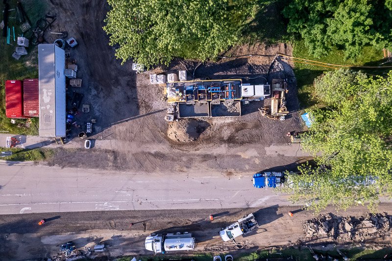
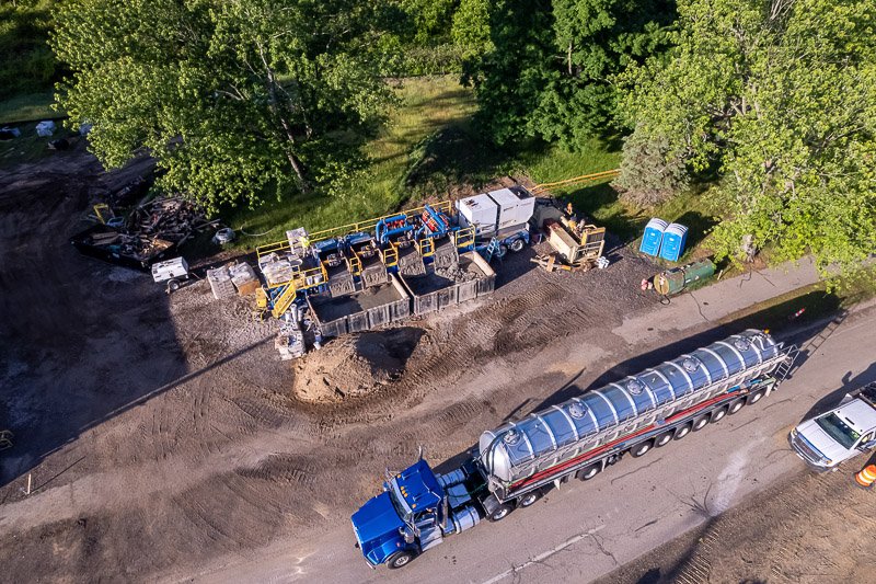
Our advanced drone technology captures comprehensive aerial surveys, providing real-time data for precise site monitoring, progress tracking, and strategic decision-making.
From capturing breathtaking aerial views to creating detailed 3D models and progress time-lapses, great to have as future marketing content to help you land your next deal, we empower you to streamline operations, optimize resources, and showcase your projects with confidence.
ORTHOMOSIAC MAPPING
Say goodbye to guesswork and hello to precision with Mitten Drone Media's ortho mapping solutions.
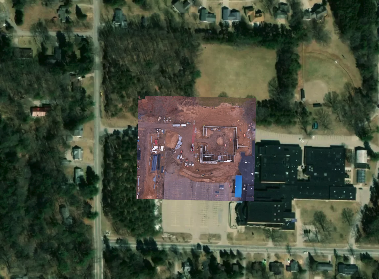
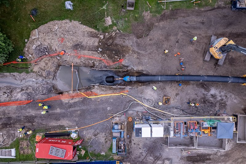
Orthomosaic mapping is a technique that combines multiple aerial images to create a highly detailed, geo-referenced, and accurate map or image of an area or object. That's where drone “ortho” mapping becomes your ultimate asset for any construction project.
Experience mapping like never before
Click to immerse yourself in a whole new world of mapping solutions.
Why Use ortho mapping?
Ortho maps offer significantly higher resolution and accuracy compared to Google Maps, providing detailed information crucial for construction projects, such as precise measurements, topographical features, and real-time updates.
Unlike Google Maps, orthomosaic maps are customizable to project-specific needs, enabling construction teams to make informed decisions and optimize workflows with unparalleled precision and efficiency.
Imagine having a bird's-eye view of your entire project site, with every detail meticulously captured and analyzed in real-time.
From tracking site layout to identifying potential risks and optimizing resource allocation, our ortho mapping technology empowers you to make informed decisions, streamline workflows, and ultimately, drive success in every phase of your construction projects.
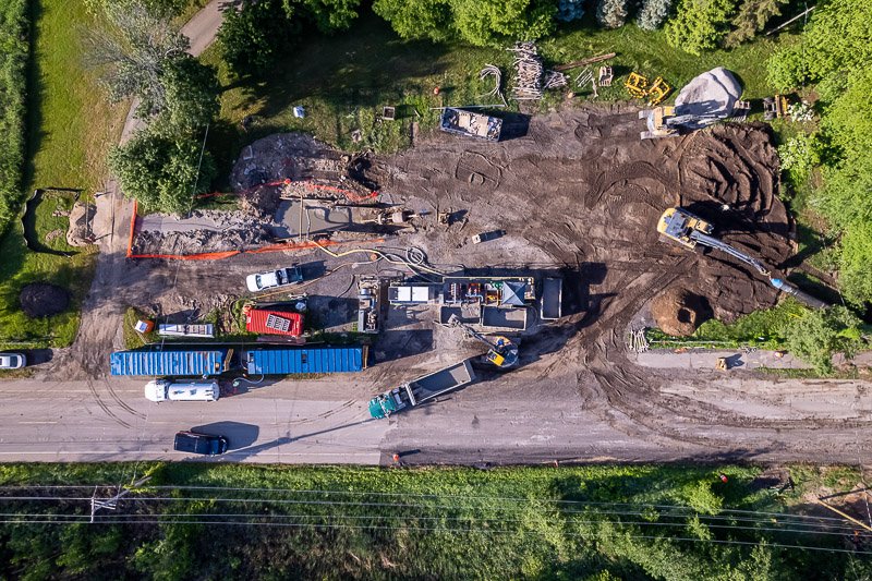
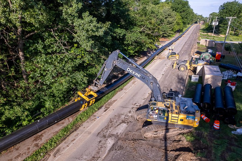
Progress Tracking & Time-lapses
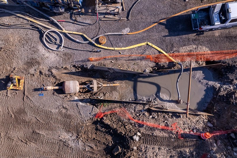
Drones offer construction companies a comprehensive and efficient means of tracking worksite progress by providing high-resolution aerial imagery and video footage.
Track worksite Progress

Project Time-lapses
With regular drone flights over the site, construction managers can monitor progress in real-time, identify potential delays or issues, and make data-driven decisions to keep projects on schedule and within budget.
Contact
Interested in one of Mitten Drone’s services? Contact us today, and let's elevate your property's visual presence to new heights.